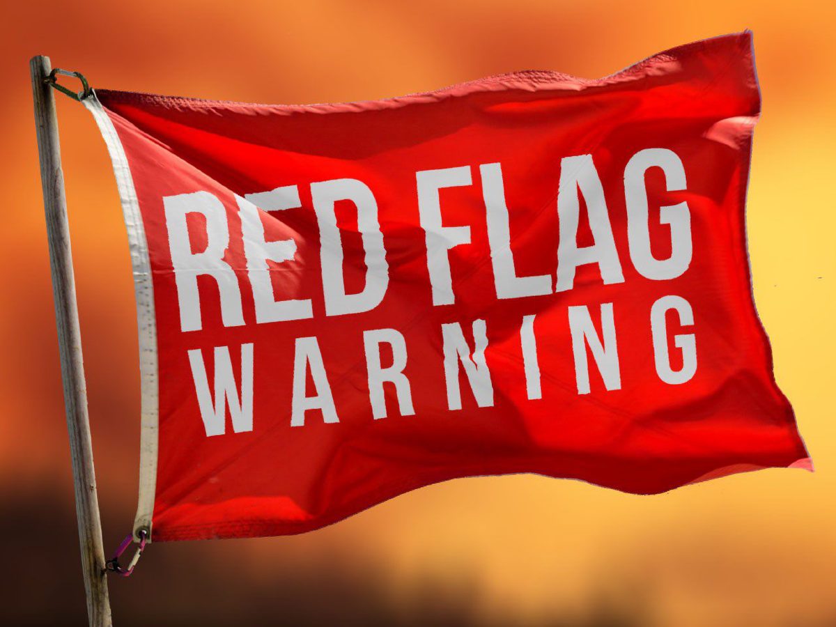
The Canyon Lake area is under a Red Flag Warning and Wind Advisory from 4-9 p.m. Wednesday with sustained 20-25 mph winds and peak wind gusts of up to 40 mph expected.
The U.S. National Weather Service Austin-San Antonio said these high winds, relatively low humidity of between 5-20%, and dry to critically dry fuels, or vegetation, will combine to create “critical fire weather.”
The watch area includes the western two-thirds of South Central Texas.
These weather conditions will hang around the rest of the week with most-impactful fire-weather days expected Friday and Saturday.
The public is asked to avoid outdoor burning, keep vehicles off dry grass and properly discard cigarettes.
Texas Commission on Environmental Quality (TCEQ) burn rules make it illegal to burn if wind speeds are predicted to be over 23 mph.
Comal County spokesperson Cary Zayas said commissioners are likely to enact a burn ban Thursday.
Today, the county’s Keetch-Byram Drought Index (KBDI) was 483 points. The KBDI has increased at a rate of one to six points per day recently.
“If this trend continues, we could reach the 490s by Friday, just a few points away from the 500 threshold mark that requires us to reinstate the burn ban in Comal County.”
To follow KBDI daily click here.
The weather service said fire activity in South Central Texas typically peaks in spring as passing low-pressure systems across the southern/central plains bring in stronger winds. Pacific cold fronts/drylines lower humidity.