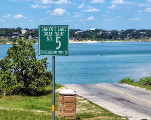
The U.S. National Weather Service (NWS) has issued a Red Flag Warning, in effect from 9 a.m. through 8 p.m. Thursday, for the San Antonio area including Canyon Lake.
Wind gusts of up to 35 mph are expected thanks to a cold front that will bring breezy to windy westerly winds turning northerly. Drier conditions are expected.
A Red Flag Warning means critical fire weather conditions exist. Gusty winds and relative humidities in the teens to 20s will combine with dry to critically dry fuels across most of the region to create a high-fire danger throughout the day.
The best overlap of the driest conditions and gusty winds exists south of US 90 and west of I-37.
Counties under the watch include Llano, Burnet, Williamson, Val Verde, Edwards, Real, Kerr, Bandera, Gillespie, Kendall, Blanco, Hays, Travis, Bastrop, Lee, Kinney, Uvalde, Medina, Bexar, Comal, Guadalupe, Caldwell, Fayette, Maverick, Zavala, Atascosa, Wilson, Karnes, Gonzales, De Witt, Lavaca and Dimmit.
NWS issues a red flag warning, in conjunction with land-management agencies, to alert people to an ongoing or expected critical fire weather pattern. Residents should stay aware of the weather and their surroundings, be extremely careful with open flames, call 911 if they see smoke or fire, and be ready to evacuate quickly if ordered or a fire threatens.
Texas A&M Forest Service encourages the public to avoid outdoor activities that may cause a spark while warm, dry and windy conditions are present.
Tuesday, it reported that over the past seven days state and local resources responded to 176 wildfires that burned 8,418 acres. The uptick in activity was the result of increased wind speeds over dry fuels.
The Forest Service has fully staffed task forces and suppression equipment staged in Childress, Amarillo, Lubbock, San Angelo, Burkburnett, Fredericksburg, Smithville, McGregor, San Angelo and Mineral Wells.
Additional agency personnel and overhead, including incident commanders with advanced qualifications, are prepositioned across areas of concern.
“Rapid response and the use of appropriate resources is essential in preventing large, destructive wildfires,” said Wes Moorehead, Texas A&M Forest Service Fire Chief. “Our agency strategically prepositions personnel and equipment across areas of concern where they can respond to requests for assistance from local fire departments who serve as Texas’ first line of defense.”
Two large airtankers, three single engine air tankers, two type 3 helicopters, two air attack platforms and two aerial supervision modules are staged in-state to assist with wildfire response efforts.
For current conditions and wildfire outlook, visit the Texas Fire Potential Outlook by clicking here: https://bit.ly/3kemhbG.
NWS said above-normal temperatures as high as 75 degrees will fall into the high 50s and low 60s with lows near freezing.
“Above normal temperatures on Thursday turn below normal for Friday through Saturday with freezes in the Hill Country and low-lying areas of the (Balcones) Escarpment in the early morning hours each day,” NWS said on Facebook. “A rapid warming trend to above-normal temperatures is expected on Sunday into Monday. Isolated showers are possible across eastern areas on Monday.”
To sign up to receive emergency alerts from Comal County, click here.


