A cold front will move through the Canyon Lake area Saturday morning, bringing breezy and dry conditions that promote the spread of wildfires.
The National Weather Service (NWS) today issued a Red Flag Warning from noon to 8 p.m. Saturday for critical fire-weather conditions in the western two-thirds of South Central Texas.
Northwest winds of 15-25 mph with gusts of up to 35 mph are expected along with low humidity between 10-20%.
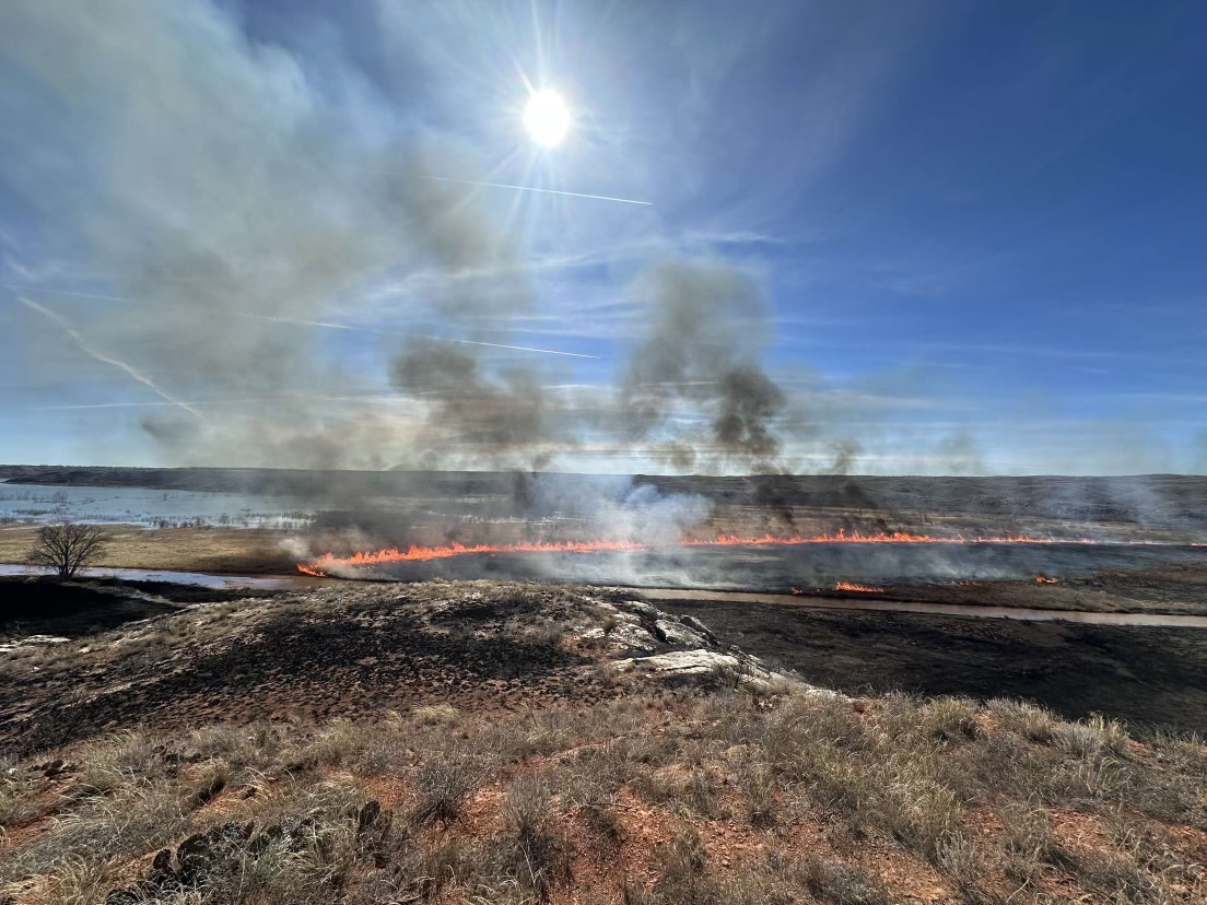
A combination of strong winds, low relative humidity, and warm temperatures contribute to extreme fire behavior. Drying and drought-stricken “fuels” or vegetation make the situation even more dangerous.
Any fires that develop may rapidly increase in size and intensity, move quickly, and be very difficult to control.
The public is asked to avoid open flames or sparks, keep vehicles off dry grass and properly discard cigarettes.
Most wildfires are caused by humans, according to Texas A&M Fire Service. Debris burning is the number-one cause of wildfires in Texas. Equipment is the second-leading cause.
Comal County is not under a burn ban but outdoor burning is banned by the Texas Commission on Environmental Quality (TCEQ) when winds exceed 23 mph.
Residents are asked to avoid burning on hot, dry or windy days. All vehicles should be in good working order, and should not be parked in tall, dry grass. Catalytic converters can easily spark dry grass.
If a fire ignites nearby, do not fly drones into a fire zone, the Forest Service said. Using unauthorized, unmanned aerial systems (UAS) or drones endangers the lives of pilots and firefighters, forcing them to ground fire-suppression aircraft to avoid the potential for a midair collision.
For fire updates click here.